Yesterday we were like birds, floating above Goodwood School.
We used Google Earth to zoom in over Goodwood School.


We used Google Earth to help us to draw maps of our significant places at Goodwood School.
We looked carefully and used our knowledge of shapes to draw the buildings, the court, the pool and other special places that we like to learn and play.

We added labels and a title.
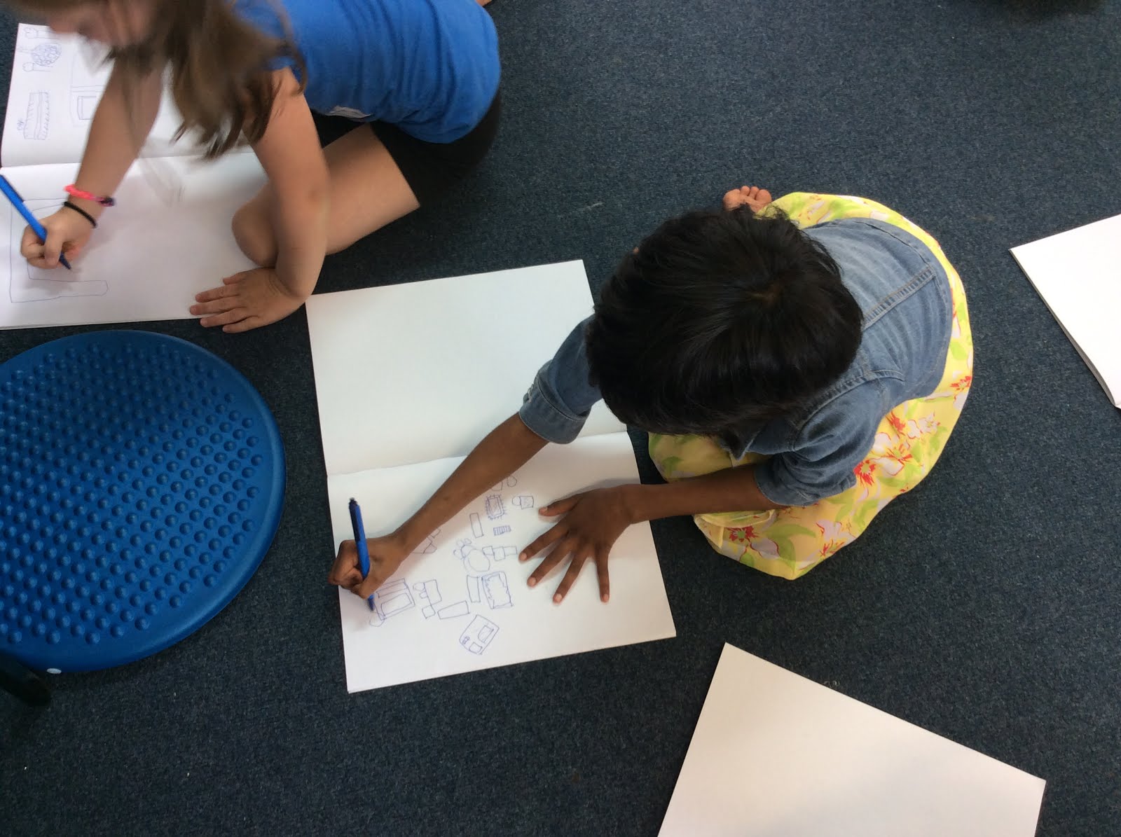

All of our maps looked different, even though they had a lot of the same significant places.

Can you see our significant places?
My boys loved making the maps. We have enjoyed using Google Earth at home ocassionally, to view and learn about places and to see how far we have moved!
ReplyDeleteDrawing a UK to NZ map may keep them busy over the holidays 😉
DeleteMia really enjoyed reading and following the map then telling us where to go next when we went to a large event in Auckland last weekend. It's wonderful to see her linking this learning to other real-life contexts outside of her school environment.
ReplyDeleteAlex loved Google Earth, it as the first thing he told me about when I picked him up from school. We then went onto to look at his house with Dad. It was great fun looking at it from above. Next will be to look at his cousins house in Africa!
ReplyDeleteAlex loved Google Earth, it as the first thing he told me about when I picked him up from school. We then went onto to look at his house with Dad. It was great fun looking at it from above. Next will be to look at his cousins house in Africa!
ReplyDeleteI met some very focused map creators yesterday. So much detail and wonderful writing too. Awesome work Ruma Ruru and Piwakawaka.
ReplyDeleteGreat work, Ruma Piwakawaka. Map making is such fun and a wonderful skill to have, and Google Earth certainly makes for some fascinating adventures and journeys.
ReplyDelete